


Another Overlooked Viewpoint Trail: Observation Peak
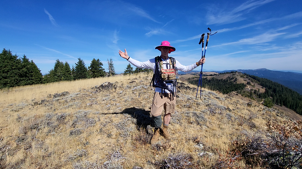
Looking for a low-effort, high-reward day hike in Southern Oregon with 360-degree panoramic views? Observation Peak is one of the most underrated day hikes in the Siskiyou Mountains. Located right off the Pacific Crest Trail (PCT) near the California–Oregon border, this 5-mile round-trip hike delivers breathtaking summit views of Mt. Shasta, Mt. Ashland, and the Cascade Range—without the crowds.
Whether you're a local hiker exploring the Applegate Valley region or a PCT hiker looking for a quick, rewarding side trip, here is everything you need to know to tackle the Observation Peak spur trail.
Trail Stats & Overview
Distance: 5 miles (out-and-back)
Elevation Gain: 1,150 feet
Difficulty: Moderate (Gentle PCT climb followed by an off-trail ridgeline hike)
Estimated Time: 2.5 to 3.5 hours
Trailhead Location: Forest Road 2025 (accessed via Jacksonville / Applegate Road)
Trail Conditions: Well-maintained along the PCT; route-finding along the Observation Peak ridge line.
Pro Tip: Cell service is non-existent out here. Be sure to download your offline maps (AllTrails or Gaia GPS) before leaving Jacksonville or the Applegate area!
Getting to the Trailhead
The trailhead is accessed via Forest Road 2025, located approximately 15 miles down a dirt and gravel logging road just north of the Oregon–California border.
If you’re driving in from Jacksonville, take Applegate Road toward the backcountry. While the gravel road is long, it is generally in great condition for standard passenger vehicles during the dry season.
The Hike: Step-by-Step
1. The State Border Warm-Up
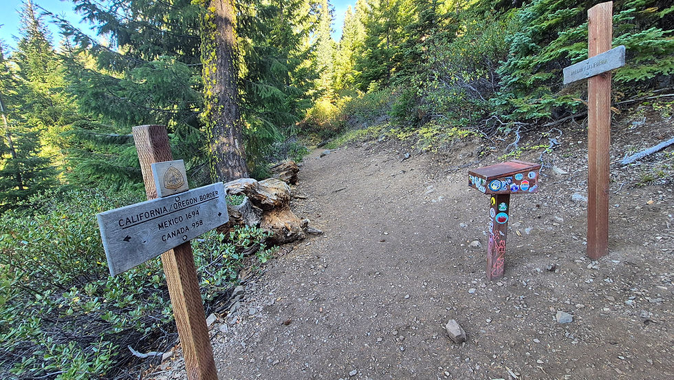
At the trailhead on Forest Road 2025, you’ll spot two official PCT signposts—one pointing south toward California and one pointing north into Oregon. While the route to Observation Peak goes north, consider taking a quick and easy stroll south to step across the California–Oregon border before starting your hike!
2. Cruising the PCT (Miles 0 – 2.0)
Heading north on the PCT, the trail offers classic Southern Oregon scenery: gentle, forgiving elevation gains winding through pine forest and sunlit clearings. Because this section sees very low foot traffic outside of peak PCT thru-hiker season, you’re likely to have the entire trail to yourself.
3. Finding the Observation Peak Spur (Mile 2.0)
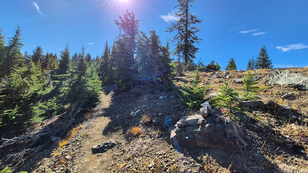
At roughly the 2-mile mark, keep your eyes peeled to your right. Look for a prominent boulder sitting just off the trail on your right (often marked by a small rock cairn).
The Turn-Off: Leave the main PCT and scramble up to the right past the boulder.
The Ridge: About 30 feet up, there's a small cluster of evergreen trees, turn left to gain the main ridgeline and follow it.
4. Navigating the Ridge
There is no officially maintained trail to the peak. However, if you keep your eyes on the terrain, you’ll notice the occasional faint boot path worn into the grass and foliage. Stay directly along the ridgeline as you ascend.
Don't be fooled by the false summits ahead! The true peak remains hidden until the very end of the ridge.
The Summit Experience & Panoramic Views
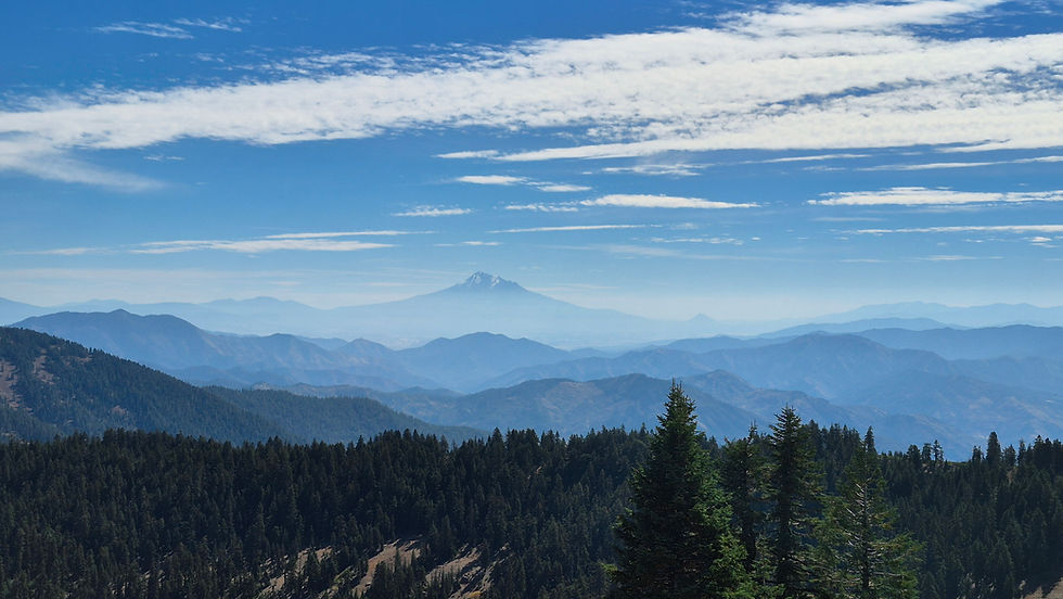
As you reach the final crest, the terrain opens up dramatically—and Mt. Shasta suddenly dominates the southern horizon.
At the summit, you’ll find:
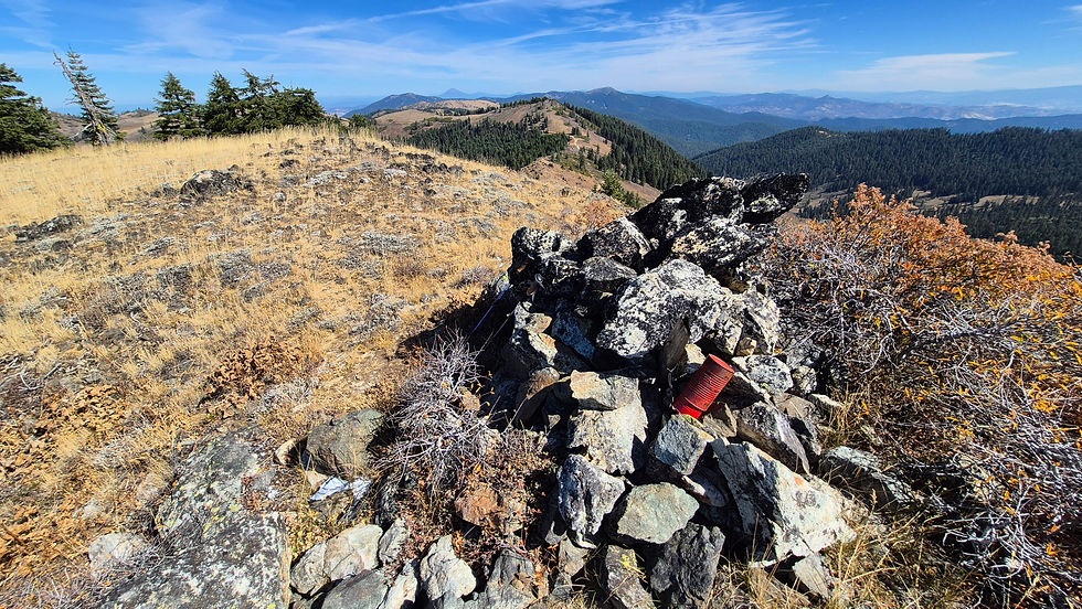
A U.S. Coast & Geodetic Survey triangulation marker.
A summit register housed inside two red metal containers (feel free to sign your name in the ziplock-sealed logbooks and look for the laminated 'Amputee Outdoors' business card!).
The 360-Degree Vista
The view from Observation Peak is easily one of the best in the Siskiyous. On a clear day, you can turn in a complete circle and take in:
Mt. Shasta
Mt. Ashland
Mt. McLoughlin
The Cascade Range
The Siskiyou Mountains & Coast Range
It’s an ideal spot to enjoy lunch, stretch out in the sun, and watch the clouds float over the border country.
Final Thoughts & Video Walkthrough
Despite requiring a bit of a dirt-road drive, Observation Peak gives you sub-alpine views that rival much tougher climbs. As an amputee hiker in my 60s, I found this trail straightforward, incredibly peaceful, and worth every mile of the drive.
Watch the Video Report: Want a visual preview of the turn-off boulder and summit route? Check out the full, detailed trail breakdown on the Amputee Outdoors YouTube channel.


Comments