


Grizzly Peak Trail Report: Fantastic Mountain and Valley Views, Disappointing Summit
Updated: Aug 10
Length: ~5 miles (more if you chase the social trails)
Elevation Gain: 944 ft
Time: 2.5–3 hours
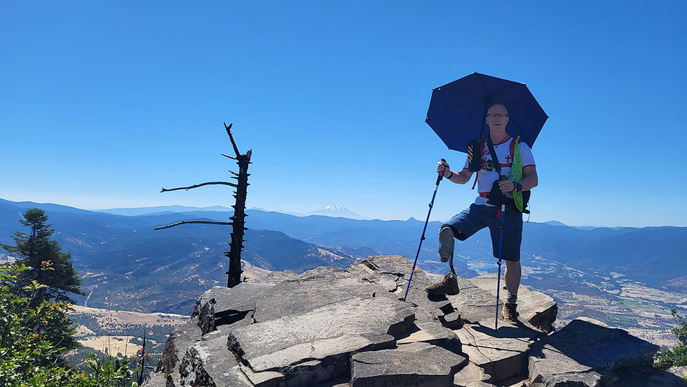
Grizzly Peak sits just east of Ashland, Oregon, tucked above Dead Indian Memorial Road and accessed via Shale City Road. The final stretch is a classic Southern Oregon forest road—rutted dirt, scattered potholes, and enough dips to make even high‑clearance SUVs pay attention.
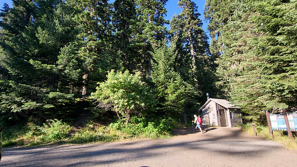
The trailhead is surprisingly civilized: vault toilet, decent signage, and parking for roughly 20 vehicles. On weekends it overflows fast, pushing late arrivals onto the narrow approach road and turning the last half‑mile into a tight squeeze.
Forest Ascent
The trail opens with a steady climb through a mixed conifer forest—Douglas‑fir, Western red cedar, Western hemlock, pockets of ponderosa, and the occasional noble fir. Many of these trees drip with Usnea (Oregon bearded lichen), hanging in pale green curtains that give the forest an almost primeval feel.
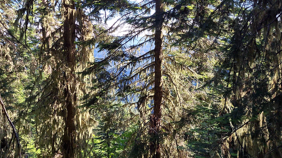
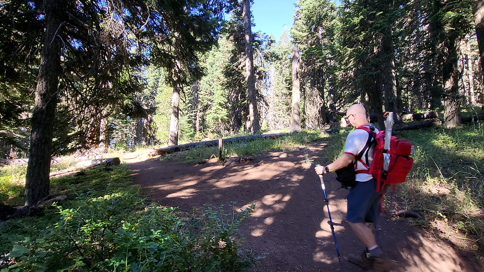
The grade is front‑loaded but never punishing. After the initial push, the trail settles into long stretches of mellow slopes up (and occasionally down), singletrack. The tread is packed dirt with minimal rock—fast, easy hiking that lets you cruise without watching every footfall.
Meadows, Clearings & Tick Country
Soon the forest breaks into a series of meadows and open clearings. They’re idyllic, cinematic even, but they’re also prime tick habitat. Experienced hikers know the drill: treat your boots, socks, pants, and gear before you start. These meadows are worth lingering in, but only after you’ve done your prep.

The Lollipop Loop
The route forms a lollipop: climb the “stick,” reach a Y‑junction, then choose your direction.
Heading left delivers an early reward—a short social trail leading to a preview viewpoint. From here you can already spot Mt. Shasta, Mt. Ashland, I‑5, and Ashland tucked into the valley.
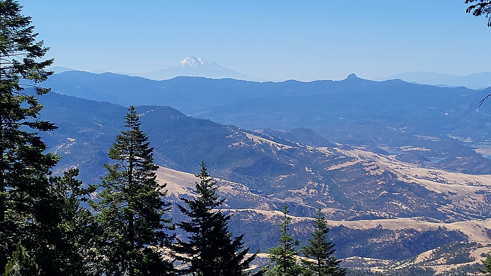
Back on the main loop, the trail rolls through more meadows and shaded forest pockets. Eventually the trees thin and the terrain shifts: the soft dirt gives way to a rocky plateau, and a stand of burnt trees appears ahead. That’s your landmark—your signal that the real payoff is close.

Final Ascent & Exposed Ridge
The last climb is on open, rocky terrain with zero shade. Bring sun protection: wide‑brim hat, umbrella, sunglasses, and sunscreen. As you ascend, Mt. Shasta dominates the horizon, and the trail bends right past the charred trees toward the viewpoint.

Traffic patterns vary—on my visit I saw only two hikers on the approach, but a dozen clustered at the viewpoint from the opposite direction of the loop.
The Viewpoint: Grizzly Peak’s Crown
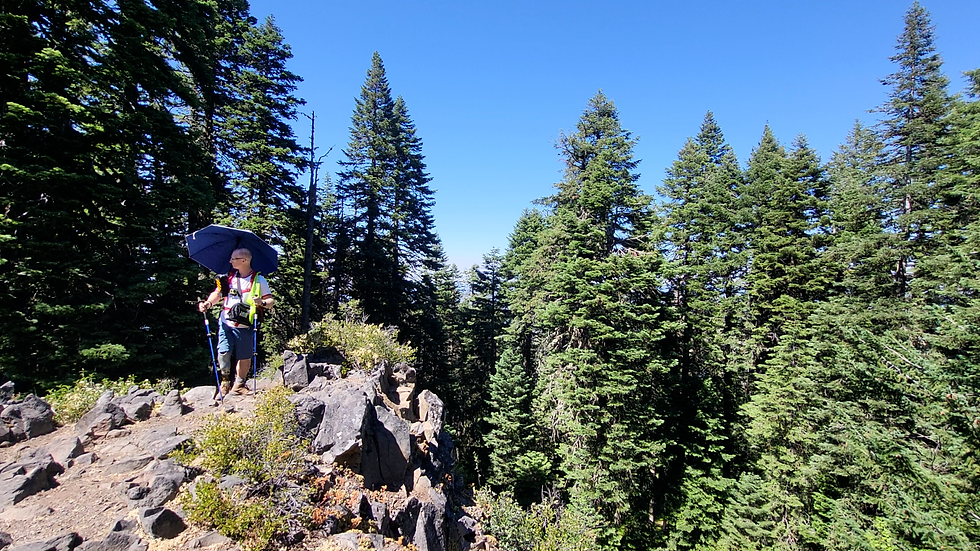
The plateau offers excellent views, but the pièce de résistance is a rocky prominence that feels purpose‑built for hikers. From this perch you get a sweeping, unobstructed panorama:
Mt. Shasta
Mt. Ashland
Ashland, Talent, Phoenix, Medford
Roxy Ann
Upper & Lower Table Rock
The Rogue Valley stretching toward Shady Cove
At 5,630 ft, you’re high enough that inbound aircraft to Medford pass below you on approach—a surreal bonus.


Loop Return
After soaking in the views, the loop continues along the valley-facing side, delivering nearly continuous vistas of Ashland, Talent, and Phoenix. The trail narrows here, brushing against tall grass and wildflowers.
Eventually you emerge into a massive meadow glowing with bright yellow blooms. It’s a striking contrast to the rocky summit—wide, open, and unexpectedly beautiful.

Optional Summit Spur
Near the Y‑junction, an unmarked trail branches left toward the true summit of Grizzly Peak (5,850 ft). It’s rocky, short, and—honestly—not worth it. The summit is tree‑choked with no real views. Tag it if you’re a peak‑bagging purist; otherwise, skip it and enjoy the easy descent back to the trailhead.
Seasonal Notes
Locals report that Grizzly Peak is hikeable year‑round. In winter, microspikes or crampons are usually enough; snowshoes are rarely required. The meadows and views shift dramatically with the seasons, making this a trail worth revisiting in fall, winter, and spring.
Trail Report List
Upper Table Rock - https://www.amputeeoutdoors.com/post/upper-table-rock-trail-report
Lower Table Rock - https://www.amputeeoutdoors.com/post/lower-table-rock-trail-report
Green Springs Loop Trail - https://www.amputeeoutdoors.com/post/green-springs-mt-loop-trail-report


https://01s8.com/ làm mình chú ý ở đoạn giải thích vì sao địa chỉ truy cập đôi lúc có thể thay đổi. Mình thường bỏ qua mấy phần giới thiệu dài, nhưng chỗ này nói khá cụ thể nên cũng nán lại đọc. Có nhắc tới chuyện dễ nhầm với trang mang tên hoặc giao diện tương tự nữa, đọc vậy thì hiểu vì sao cần xem kỹ địa chỉ trước khi nhập thông tin cá nhân. Mình mới lướt phần nội dung giới thiệu, chưa xem sâu nên cũng không biết những phần khác ra sao. Riêng cách chia nội dung thì thấy khá dễ theo dõi, không phải đọc một mạch mới đoán được đang nói về gì. Phần…
FLY88 dạo này mình thấy có người nhắc tới khi nói về các nền tảng giải trí trực tuyến nên cũng thử mở vào xem cách họ bố trí giao diện ra sao. Mình không đi sâu vào nội dung hay từng trò cụ thể, mà chủ yếu quan sát cách các chuyên mục được phân chia trên trang và cách thông tin hiển thị cho người dùng. Nhìn tổng thể thì các khu như thể thao, casino, game bài hay slot thường được sắp xếp theo từng nhóm khá rõ, hiển thị dạng khối và danh sách nên lướt qua cũng dễ theo dõi. Các bảng dữ liệu được trình bày dạng cột khá gọn, giúp quan sát nhanh…
keonhacai dạo này thấy bạn bè nhắc hoài nên mình cũng ghé thử cho biết, kiểu vào xem có gì hay ho không thôi. Vừa mở lên là thấy họ chia nội dung thành từng khối nhìn khá thoáng, lướt xuống không bị rối mắt. Mình để ý nhất cái phần tỷ lệ kèo bóng đá hôm nay, số liệu cập nhật liên tục nên cảm giác “đang chạy” thật, nhìn theo dạng bảng nên soi nhanh cũng hiểu đội nào đang bị đẩy kèo. Mấy đoạn giải thích kiểu “tỷ lệ kèo nhà cái là gì” viết ngắn gọn, không dài dòng nên đọc lướt vẫn nắm được ý. Nói chung mình không ngồi lâu, nhưng cách họ đặt…
789 hôm trước thấy bạn bè nhắc nên mình cũng bấm vào lướt thử cho biết thôi. Mình kiểu người dùng bình thường, không có thời gian ngồi mò hết tính năng hay game gì đâu. Cảm giác đầu tiên là trang nhìn khá thoáng, chia khối nội dung rõ ràng nên kéo xuống không bị ngợp chữ. Có đoạn nói về lịch sử từ năm 2012 với trụ sở ở Macau, mình đọc lướt mà vẫn nắm được ý chính, viết gọn gàng chứ không dài dòng. Phần hình ảnh minh hoạ nhìn “mịn” hơn mình tưởng, kiểu 3D nên chuyển qua lại không bị rối mắt. Nói chung lướt nhanh thấy dễ chịu, nhất là cách họ để…
qs88 bet mình cũng chỉ ghé thử vì thấy mọi người bàn tán mấy hôm nay. Vào cái là thấy giao diện nhìn khá nhẹ mắt, không bị nhồi chữ hay màu mè quá nên lướt một lúc vẫn ổn. Mình không đọc kỹ nội dung đâu, chủ yếu xem cách họ bố trí có dễ tìm không thôi, và thấy các phần được chia thành từng khối rõ ràng nên nhìn phát biết chỗ nào là gì. Mấy bảng thông tin trình bày theo cột gọn gàng, liếc nhanh là nắm được ý chính chứ không phải căng mắt dò từng dòng. Cái mình thích nhất là menu để khá nổi, bấm qua lại giữa các mục không bị…